Abstract
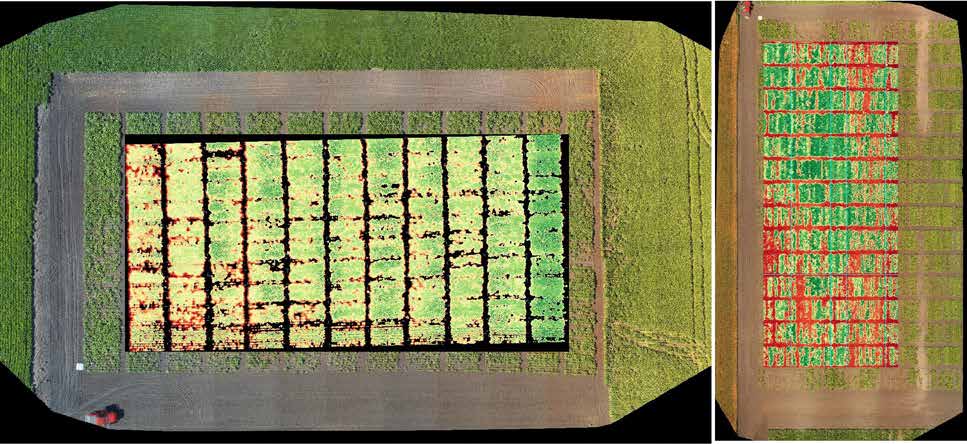
Germplasm trait evaluation is essential to identify genetic sources for sugarbeet breeding. Accurate phenotypic assessment requires plants grown in replicate field trials under different environments. Manually scoring traits of germplasm at a large scale in the field is laborious and inconsistent. Utilizing computer vision-driven phenotyping can expedite the breeding process pipeline and deliver consistent phenotypic metrics thus becomes an urgent need. Unmanned aerial vehicle (UAV)-based high-throughput plant phenotyping is proposed in this study to characterize the performance of sugarbeet traits using an in-house image analytic software. Experiment was conducted in two sugarbeet root maggot nurseries close to St. Thomas and Buxton, ND, respectively. A UAV was deployed to map the sugarbeet field with various altitudes (32ft and 100ft) and overlaps (20%, 50%, and 80%) to evaluate image quality and stitching performance. Plot-level metrics is calculated by defining an area of interest (AOI) of the field boundary and processing geofenced pixels for vegetation and leaf area indices in a sub-AOI aligned with each plot using a gridding method through segmentation, filtering, masking, and clustering. The result indicated that UAV-based crop mapping integrated with open-source analytic software can perform high-throughput phenotyping in an effective manner and can facilitate the data processing pipeline in plant breeding and biotechnology. The system is scaled up to direct geo-referencing of UAV images for improved mapping time and coverage.